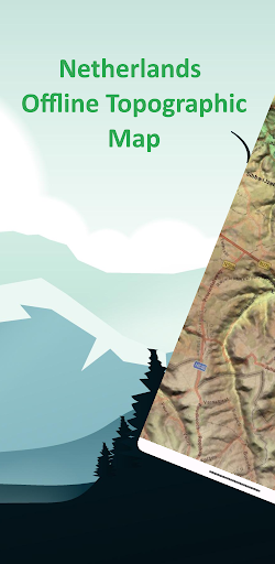
Features Netherlands Offline Topo Map
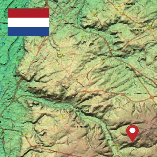
Designed with simplicity in mind, this app offers an intuitive user interface that enables you to quickly and easily find information about surroundings, without any prior technical knowledge or experience.The app offers offline topographic map of Netherlands, data used in this app meticulously provided and maintained by European Digital Elevation Model (EU-DEM) project.
EU-DEM is a digital surface model (DSM) at pan-European level representing the first surface as illuminated by the sensors.
It is a hybrid product based on SRTM and ASTER GDEM data fused by a weighted averaging approach.As a testament to our commitment to utilizing cutting-edge technology, we proudly leverage the Leaflet JavaScript library – a project born in Ukraine.
It delivers a seamless user experience that empowers you to explore and discover the world with ease.This app is the embodiment of our unwavering commitment to making the world a better place, and we are honored to provide a powerful platform that equips you with the tools and information needed to navigate and explore the surroundings with confidence and clarity.
Productivity Tools
Boost your productivity with powerful tools and features.
Offline Mode
Use the app without an internet connection. Your data syncs when you're back online.
Lightning Fast
Experience blazing fast performance with our optimized Android application.
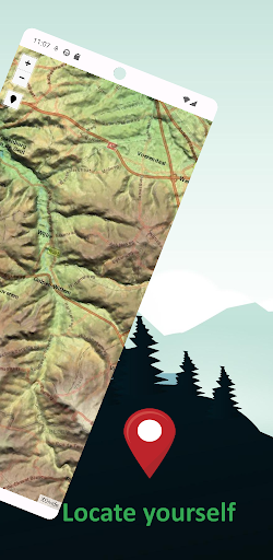
See the Netherlands Offline Topo Map in Action

Get the App Today
Available for Android 8.0 and above